SUAS
Makassar
Explore a range of information, innovations, and services that support Makassar as a resilient and environmentally friendly city.

SUAS Makassar Enhanced Sustainability Hub
01
3D Building Data

Get accurate 3D representations of Makassar's buildings for analysis, simulation, and planning.

02
Carbon Data Popular

Comprehensive carbon footprint insights to support your city's sustainability goals.

03
Terrain Mapping

High-resolution terrain data for infrastructure, environmental, and urban development projects.

04
Urban Matrix

Data-driven insights to improve urban efficiency, planning, and resource management.

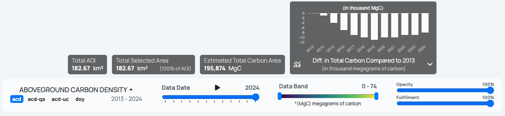
Total AOI
182.67 km²
Total Selected Area
182.67 km²(100% of AOI)
Estimated Total Carbon Area
195,874 MgC
Diff. in Total Carbon Compared to 2013
(in thousand megagrams of carbon)
acdacd-qaacd-ucdoy

2013 - 2024

Data Date 2024
Data Band 0 - 78
*(MgC) megagrams of carbon
Opacity 100%
Fullfilment 100%

Our Data

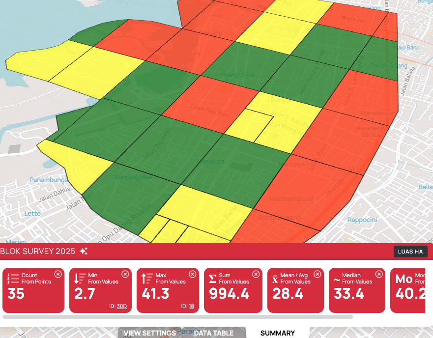
2025 Survey Blocks

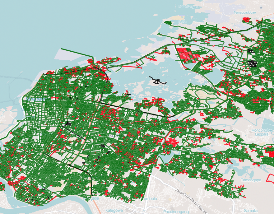
Makassar Road Network

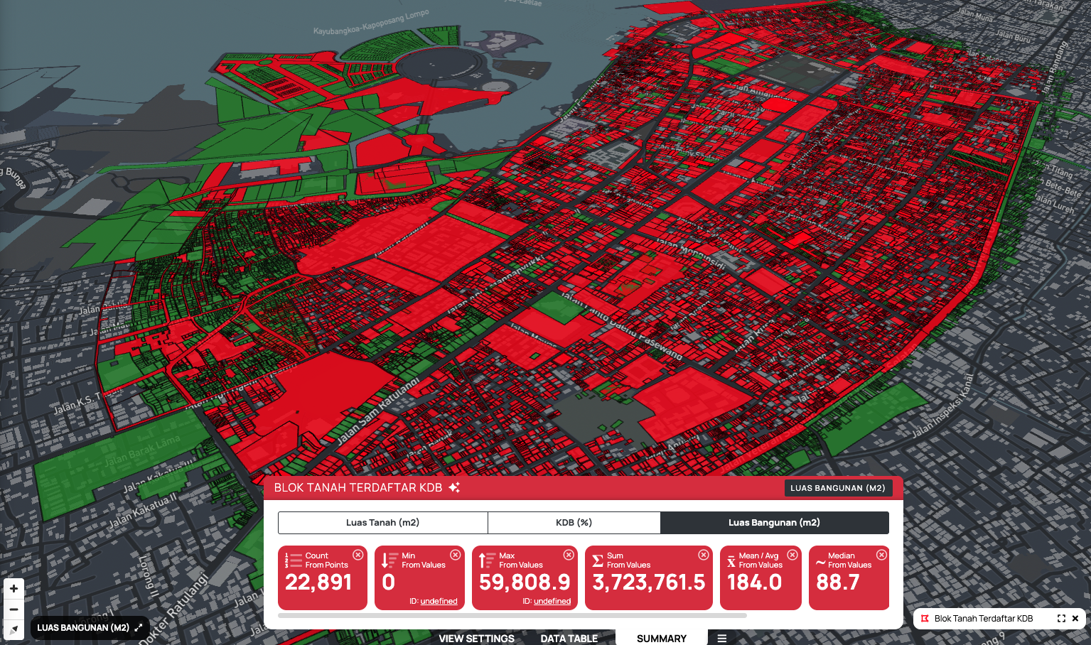
Registered Land Parcels – KDB

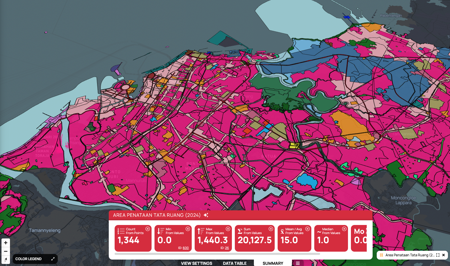
Spatial Planning Areas

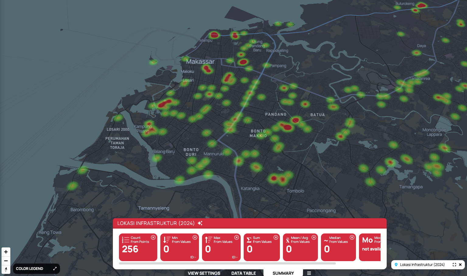
Infrastructure Locations (2024)

Scroll